

Vilarinho → Barcelos
Updated on 19 November 2026 by the Buen Camino Santiago team
Stage map
Start in green, finish in red and villages along the way in yellow, in order by kilometre.
Towns and services
| Town | Km | ATM | Pharmacy | Shop | Bar/Rest. | Bed | Health | Notes |
|---|---|---|---|---|---|---|---|---|
| Vilarinho | 0 | · | · | · | · | · | · | |
| Puente de Zameiro | 1.7 | · | · | · | · | · | · | |
| Touguinhó | · | · | · | · | · | · | ||
| Junqueira | · | · | · | · | · | · | ||
| São Mamede | 5.6 | · | · | · | · | · | · | |
| São Miguel de Arcos | 8.2 | · | · | · | · | · | · | |
| São Pedro de Rates | 12 | · | · | · | · | · | · | |
| Courel | · | · | · | · | · | · | ||
| Pedra Furada | 18.7 | · | · | · | · | ✓ | · | |
| Pereira | 22.5 | · | · | · | · | · | · | |
| Carvalhal | 24.6 | · | · | · | · | · | · | |
| Barcelinhos | 27.7 | ✓ | ✓ | ✓ | ✓ | ✓ | ✓ | |
| Medieval bridge over the Cávado | · | · | · | · | · | · | ||
| Barcelos | 28.1 | ✓ | ✓ | ✓ | ✓ | ✓ | ✓ |
✓ available · · not available. Approximate distances from the start. In the low season some bars may close.
Elevation profile
Approximate elevation profile. In the stage data, elevation marked with ~ is an estimate; without ~, it is verified data.
Route: Rutas de Caminos de Santiago 2020-2026, CC BY 4.0 FEAACS. Split into stages by BuenCaminoSantiago.com
The Vilarinho – Barcelos stage is stage 18 of the Camino Portugués: 28.1 km with 658 m of total ascent and 704 m of descent, about 6.8 hours of walking. Its difficulty is 2 out of 5 and its scenery 3 out of 5.

Contents
Vilarinho – Barcelos stage: key facts
- Distance: 28.1 km
- Elevation: 658 m of ascent and 704 m of descent
- Duration: about 6.8 hours
- Highest point: 157 m
- Surface: 84% on asphalt, concrete or streets; 36% on roads with traffic
- Longest section without a fountain, bar or shop: 6.2 km
- Longest section without accommodation: 9 km
- Distance to Santiago from Vilarinho: 214.7 km
From Vilarinho to Barcelos, step by step
From Vilarinho to Barcelos, 28.1 km. An up-and-down, fairly demanding stage: 658 m of total ascent and 704 m of descent; the highest point is at 157 m. It passes São Mamede, São Miguel de Arcos, São Pedro de Rates, Pedra Furada, Pereira (Barcelos) and 2 more places.
84% is on asphalt, concrete or streets and 36% on roads with traffic; the rest is on dirt tracks and paths. Water and bars are well spread out: the longest stretch with no fountain, bar or shop is 6.2 km.
There is accommodation in 5 of the 8 places on the stage (not counting the start); the longest section with nowhere to sleep is 9 km. Difficulty 2 out of 5 and scenery 3 out of 5.
| Place | Km from Vilarinho | Km to Santiago | Places to stay | Services |
|---|---|---|---|---|
| Vilarinho | 0 | 214.7 | 2 | all services |
| Santagões | 1 | — | ||
| São Mamede | 5.6 | 209.1 | 0 | bar, restaurant |
| São Miguel de Arcos | 8.2 | 206.5 | 2 | bar, restaurant, shop |
| São Pedro de Rates | 12 | 202.7 | 4 | all services |
| Pedra Furada | 18.7 | 196 | 2 | bar, restaurant, shop |
| Pereira (Barcelos) | 22.5 | 192.2 | 0 | — |
| Carvalhal | 24.6 | 190.1 | 0 | — |
| Barcelinhos | 27.7 | 187 | 4 | all services |
| Barcelos | 28.1 | 186.6 | 12 | all services |

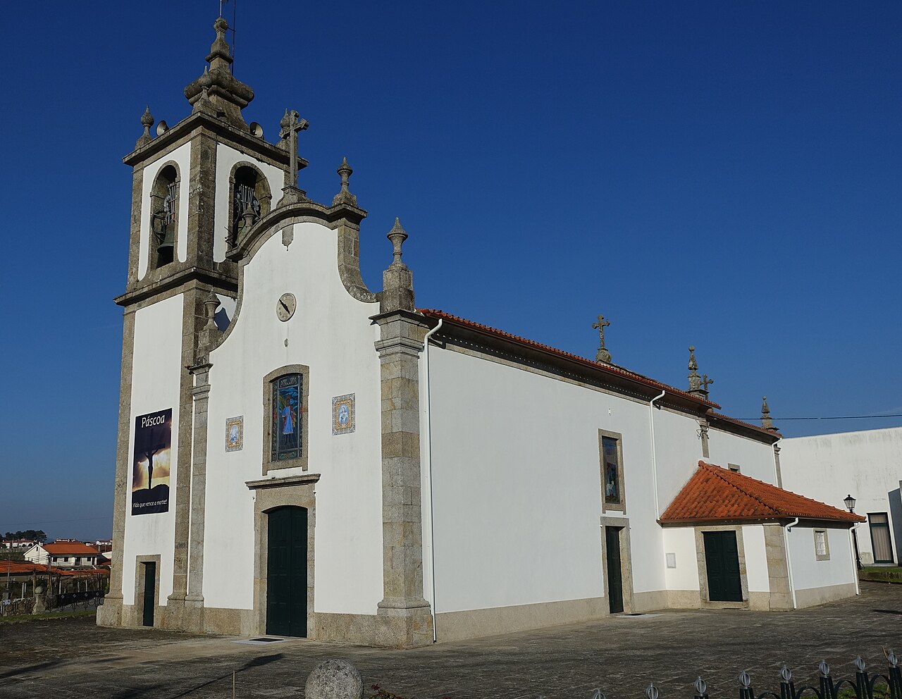

Terrain and surface
Asphalt and cobblestones in the villages; dirt tracks, farm tracks and wooded sections; historic bridges; short stretches of road with traffic. The route waymarked in 2012 avoids the most dangerous stretch of the N306, although it adds about a kilometre compared with the old line.
What to see on stage 18 of the Camino Portugués
- Church of San Pedro de Rates (São Pedro de Rates). Monastery, 12th–13th century. Protection: National Monument of Portugal. Must-see.
- Pelourinho de Rates (São Pedro de Rates). Pillory (pelourinho), 12th–13th century. Protection: Property of Public Interest (Portugal). Must-see.
- Capela do Senhor da Praça (São Pedro de Rates). Chapel. Protection: none. Must-see.
- Piedra horadada (Pedra Furada). Must-see.
- Capela de Nossa Senhora da Ponte (Barcelinhos). Chapel. Protection: none. Must-see.
- Igreja de Nossa Senhora do Terço (Barcelos). Church, 18th century. Protection: Property of Public Interest (Portugal). Must-see.
- Puente medieval (Barcelos). 14th century. Must-see.
- Iglesia matriz (Barcelos). 13th century. Must-see.
- Palacio Condal (Barcelos). Must-see.
- Murallas de Barcelos (Barcelos). Must-see.
Where to sleep in Barcelos
Barcelos has 12 places to stay in our guide. All of them, with price, beds and contact details, in the Barcelos accommodation finder.
Weather and daylight hours in Barcelos
Average temperatures from the Viana Do Castelo / Meadela weather station (1981–2010), the nearest to Barcelos, and sunrise and sunset times.
| Month | High (°C) | Low (°C) | Sunrise | Sunset |
|---|---|---|---|---|
| January | 14.6 | 4.9 | 07:59 | 17:28 |
| February | 15.5 | 5.5 | 07:30 | 18:07 |
| March | 17.9 | 7.4 | 06:47 | 18:40 |
| April | 18.5 | 8.9 | 06:55 | 20:14 |
| May | 20.7 | 11.1 | 06:15 | 20:46 |
| June | 24.5 | 13.9 | 06:00 | 21:09 |
| July | 26.3 | 15.3 | 06:13 | 21:06 |
| August | 26.4 | 15.1 | 06:43 | 20:34 |
| September | 24.8 | 13.7 | 07:14 | 19:44 |
| October | 20.9 | 11.2 | 07:46 | 18:53 |
| November | 17.3 | 8.1 | 07:23 | 17:14 |
| December | 15.2 | 6.4 | 07:53 | 17:04 |
The stage with a pet or by bike
In Barcelos we have no record of any place to stay that accepts pets. 2 places to stay store bicycles.
The weather in Barcelos
Loading the weather…
Data: Open-Meteo · 3-day forecast, for guidance only.