

Alcuéscar → Cáceres
Updated on 19 November 2026 by the Buen Camino Santiago team
Stage map
Start in green, finish in red and villages along the way in yellow, in order by kilometre.
Towns and services
| Town | Km | ATM | Pharmacy | Shop | Bar/Rest. | Bed | Health | Notes |
|---|---|---|---|---|---|---|---|---|
| Alcuéscar | 0.0 | · | · | · | · | ✓ | · | |
| Casas de Don Antonio | 8 | · | · | · | · | · | · | |
| Cáceres | 37.4 | · | · | · | · | ✓ | · | |
| Aldea del Cano | · | · | · | · | ✓ | · | ||
| Castra Cecilia / Cáceres el Viejo | · | · | · | · | ✓ | · | ||
| Valdesalor | · | · | · | · | · | · |
✓ available · · not available. Approximate distances from the start. In the low season some bars may close.
Elevation profile
Approximate elevation profile. In the stage data, elevation marked with ~ is an estimate; without ~, it is verified data.
Route: Rutas de Caminos de Santiago 2020-2026, CC BY 4.0 FEAACS. Split into stages by BuenCaminoSantiago.com
The Alcuéscar – Cáceres stage is stage 11 of the Vía de la Plata: 37.4 km with 195 m of total ascent and 199 m of descent, about 9.5 hours of walking. Its difficulty is 4 out of 5.

Contents
Alcuéscar – Cáceres stage: key facts
- Distance: 37.4 km
- Elevation: 195 m of ascent and 199 m of descent
- Duration: about 9.5 hours
- Highest point: 478 m
- Surface: 18% on asphalt, concrete or streets; 7% on roads with traffic
- Longest section without a fountain, bar or shop: 10.1 km
- Longest section without accommodation: 14.8 km
- Distance to Santiago from Alcuéscar: 714.5 km
From Alcuéscar to Cáceres, step by step
Alcuéscar–Cáceres is one of the great Extremadura days on the Vía de la Plata. There is no decisive pass, but it is long, very exposed to the sun and has several sections where the distance between services means walking self-sufficient. Aldea del Cano and Valdesalor are the logical stops before entering Cáceres. The landscape combines dehesas, historic paths, livestock estates and remains of the old Roman road. Arriving in Cáceres changes the experience completely: you enter a World Heritage city whose ensemble of medieval and Renaissance palaces, towers, churches and squares deserves several hours of your time.
From Alcuéscar to Cáceres, 37.4 km. An almost flat stage: 195 m of total ascent and 199 m of descent; the highest point is at 478 m. It passes Casas de Don Antonio, Aldea del Cano and Valdesalor. 18% is on asphalt, concrete or streets and 7% on roads with traffic; the rest on dirt tracks and paths. Carry water: there is a 10.1 km stretch with no fountain, bar or shop. There is accommodation in 3 of the 4 places on the stage (not counting the start); the longest section with nowhere to sleep is 14.8 km. Difficulty 4 out of 5.
| Place | Km from Alcuéscar | Km to Santiago | Places to stay | Services |
|---|---|---|---|---|
| Alcuéscar | 0 | 714.5 | 4 | all services |
| Casas de Don Antonio | 8 | 706.5 | 0 | — |
| Aldea del Cano | 14.8 | 699.7 | 2 | all services |
| Castillos de las Arguijuelas | 1 | — | ||
| Valdesalor | 25.8 | 688.7 | 3 | bar, restaurant, shop |
| Cáceres | 37.4 | 677.1 | 23 | all services |
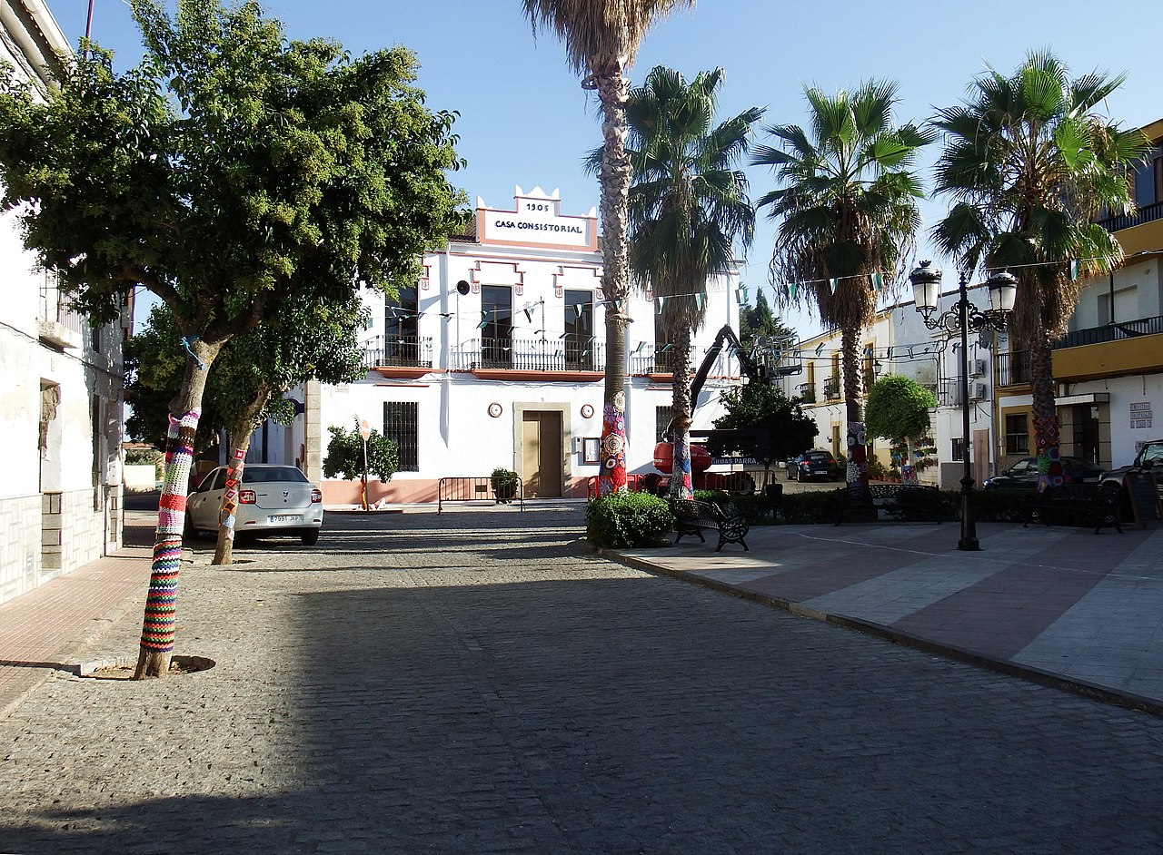

What to see on the 11 de la Vía de la Plata stage
- Visigothic basilica of Santa Lucía del Trampal (Alcuéscar). 7th century. Must-see.
- Church of la Asunción (Alcuéscar). 16th–17th century. Must-see.
- Iglesia Parroquial de San Martín (Aldea del Cano). 15th–16th century. Must-see.
- Palace of Toledo-Moctezuma (Cáceres). Palace, 16th century. Protection: Bien de Interés Cultural (Spanish heritage listing). Must-see.
- Church of San Francisco Javier (Cáceres). Baroque-style church, 18th century. Protection: Bien de Interés Cultural (Spanish heritage listing). Must-see.
- Palace of las Veletas (Cáceres). Palace, 15th century. Protection: Bien de Interés Cultural (Spanish heritage listing). Must-see.
- Casco antiguo (Cáceres). Must-see.
- Murallas (Cáceres). Must-see.
- Romanesque church of Santa María (Cáceres). 15th–16th century. Must-see.
- Palacio Episcopal (Cáceres). 13th–17th century. Must-see.
Where to sleep in Cáceres
Cáceres has 23 places to stay in our guide. All of them, with price, beds and contact details, in the Cáceres accommodation finder.
The weather in Cáceres
Loading the weather…
Data: Open-Meteo · 3-day forecast, for guidance only.
Weather and daylight hours in Cáceres
Average temperatures from the Cáceres weather station (1982–2010), the nearest to Cáceres, and sunrise and sunset times.
| Month | High (°C) | Low (°C) | Sunrise | Sunset |
|---|---|---|---|---|
| January | 12 | 3.7 | 08:44 | 18:25 |
| February | 14 | 4.7 | 08:18 | 19:01 |
| March | 17.7 | 6.7 | 07:37 | 19:31 |
| April | 19.3 | 8.3 | 07:49 | 21:02 |
| May | 23.7 | 11.5 | 07:12 | 21:32 |
| June | 29.9 | 16 | 06:58 | 21:54 |
| July | 33.7 | 18.8 | 07:10 | 21:51 |
| August | 33.2 | 18.7 | 07:37 | 21:21 |
| September | 28.8 | 16 | 08:06 | 20:34 |
| October | 22 | 11.9 | 08:35 | 19:46 |
| November | 15.9 | 7.5 | 08:09 | 18:10 |
| December | 12.5 | 4.9 | 08:38 | 18:02 |
The stage with a pet or by bike
In Cáceres we have no record of any place to stay that accepts pets. 1 place to stay stores bicycles. Note: 81% on dirt.